

Hurricane Dorian’s landfall on Cape Hatteras came 173 years, minus one day, after another historic Outer Banks storm that carved open Oregon Inlet.

On Sept. 7, 1846, a violent hurricane raged along the coast of North Carolina, opening two new channels, one between Bodie and Pea islands and one between Hatteras and Ocracoke islands: the Oregon and Hatteras inlets.
Oregon Inlet was initially thought to be temporary — soon to close over like so many other inlets slashed out by Outer Banks storms. Instead it continued to expand, becoming a vital artery for trade and transportation.
The inlet is said to be named for a trade ship making a return voyage from Edenton to Bermuda which got caught in storm. “The Oregon” was the first vessel to make passage through the new inlet after being tossed about on rough seas at the height of the storm in the days before.
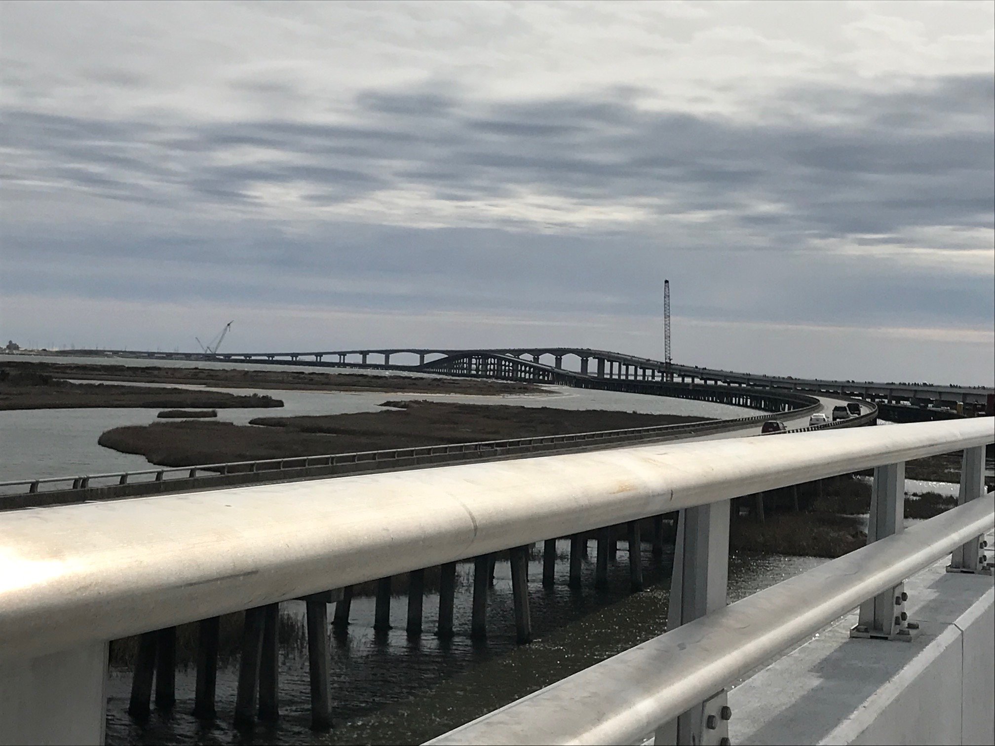
In 1963, the Bonner Bridge was built, linking Hatteras Island to the rest of the Outer Banks. Prior to that you had to take a ferry to get there. Last year, the new Marc Basnight Bridge opened spanning the inlet. Dismantling of the old Bonner Bridge continues.
Damaging storms are a way of life on the Outer Banks, though prior to Dorian it had been 16 years, with Hurricane Isabel, since a hurricane made landfall here. In recent history:
1985 – Gloria
Sept 16 – Oct 2
Max Wind Speed: 144 mph
Landfall: Hatteras – 9/26/85
Category 2 at Landfall with a 6 – 8 ft Storm Surge and 104 mph winds
1985 – Kate
Nov 15 – Nov 23
Max Wind Speed: 123 mph
Landfall in Florida
Affected NC 11/22/85
Tropical Storm when arrived in NC with 52 mph winds
1991 – Bob
Aug 16 – Aug 29
Max Wind Speed: 115 mph
Never made landfall in NC Reached Category 3 off of NC Coast
Hit North Carolina 8/19/91
1993 – Emily
Aug 22 –Sept 6
Max Wind Speed: 115 mph
Never made landfall in NC
Reached Category 3 off of coast
Affected NC 8/31/93
Evacuation – all of Dare County
Estimated $12 million in damages
1996 – Bertha
July 5 – July 17
Max Wind Speed: 115 mph
Landfall: Topsail Beach 7/13/96
Category 2 at landfall with 104 mph winds and a 5 ft Storm surge
Evacuation – all of Dare County
1996 – Fran
Aug 23 – Sept 10
Max wind Speed: 121 mph
Landfall: Cape Fear
Category 3 at landfall with 115 mph winds and an 8-12 ft storm surge
No evacuations in Dare County
1998 – Bonnie
Aug 19 – Aug 31
Max Wind Speed: 115 mph
Landfall: Cape Fear
Category 3 at landfall 6-8 ft storm surge
Evacuation – all of Dare County
1998 – Earl
Aug 31 – Sept 8
Max Wind Speed: 98 mph
Tropical Storm when reached NC
1999 – Dennis
Aug 24 – Sept 8
Max Wind Speed: 104 mph
Landfall: Dare County 9/14/99
Tropical Storm at landfall 69 mph winds
Evacuation – all of Dare County
Estimated $10 million in damages
1999 – Floyd
Sept 7 – Sept 19
Max Wind Speed: 155 mph
Landfall: Topsail Island 9/16/99
Category 2 at landfall with 109 mph winds
Evacuation – all of Dare County
2003 – Isabel
Sept 7 – Sept 29
Max Wind Speed: 160 mph
Landfall: Drum Inlet 9/18/03
Category 2 at landfall with 104 mph winds and 6 – 10 ft storm surge
Created breech in island between Frisco and Hatteras Village
Evacuation – all of Dare County
Estimated $167 million in damages
2004 – Alex
Aug 3
Category 2 at the time of landfall
Caused sound side flooding
Most damage in the form of flooding damage to cars and homes
Estimated $2.4 million in damages
2005 – Ophelia
Sept 13 – Sept 16
Max Wind Speed: 85 mph
Passed NC Coast as a Tropical Storm
Evacuation – Hatteras Island only
Estimated $19,500 in damages
2010 – Earl
Aug 25- Sept 5
Max Wind Speed: 145 mph
Passed 100 miles off of the NC Coast
Evacuation – all of Hatteras Island and Ocean front of all towns
Estimated $500,000 in damages
2011 – Irene
Aug 20 – Aug 28
Max Wind Speed: 120 mph
Landfall just south of the Outer Banks
Evacuation all of Dare County
Significant flooding
Estimated Damages: $53,975,960
2012 – Sandy
Oct 25 – Oct 31
Max Wind Speed: 70 mph
Significant road damage to NC 12 in Kitty Hawk and Rodanthe
7-8 inches of rainfall
Emergency ferry activation due to NC 12 road damage
Estimated Damages: $13+ million
2014 – Arthur
July 3 – July 4
Max Wind Speed: 101 mph
Category 2 at landfall
Earliest hurricane on record
Landfall between Cape Lookout and Beaufort
Mandatory evacuation issued for Hatteras Island
2016 – Hermine
August 28 – Sept 3
Max Wind Speed: 73 mph
Category 1 with tropical sustained winds
Extensive flooding in villages on Hatteras Island
Storm surge of 4 feet about normal tide
Estimated storm damages: $5.4 million
2016 – Matthew
October 7 – October 9
Max Wind Speed: 94 mph
Category 1 with landfall in South Carolina
Highest Dare County wind reported at 94 mph
NWS reported rainfall 12+ inches in Kill Devil Hills
Estimated statewide damages: $1.5 billion
2017 – Maria
Sept 25 – Sept 27
Max Wind Speed: 75 mph
Category 1
State of Emergency Declared
Mandatory evacuation of visitors on Hatteras Island
No estimate of damages available
2018 – Florence
Sept. 12 -15
Max wind speed: 140 mph
Landfall at Wrightsville Beach
Mandatory evacuation for Outer Banks
Extensive flooding from Cape Lookout south
2018 – Matthew
Sept 28 – Oct 9
Max wind speed: 165 mph
Landfall at McClellanville, South Carolina
Extensive soundside flooding on the Outer Banks
(Hurricane information provided by Dare County)
This story originally appeared on OBXToday.com. Read More local stories here.
Be the first to comment